Contents
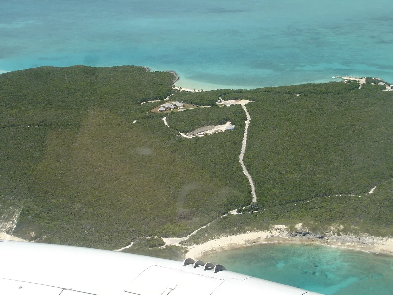
The Bahamas is not one island but about 700 islands and more than 2,400 cays1, none of them mountainous, all of them built from the same coral and limestone rock. That geology explains most of what you notice on the ground: flat terrain, shallow turquoise water right up to the shore, and a landscape that reads as sea and sand first, hills a distant second.
An archipelago, not a country-shaped country
The islands and cays sit scattered across roughly 13,878 km² (5,358 sq mi) of the western Atlantic, southeast of Florida, northeast of Cuba and northwest of the Turks and Caicos Islands. Land is a minority of that total: open water, including the shallow banks the islands rise from, makes up about 28% of it. Andros, the largest island3, alone covers more ground than all the other Bahamian islands put together, while most of the roughly 30 to 40 inhabited islands2 are a fraction of its size. This spread is why the country has no internal road or rail network worth the name: a trip that crosses from one island group to another is a flight or a boat, never a drive.
Coral rock, not mountains
Every island is built of fossil coral, largely oolitic limestone formed from the breakdown of old reefs and seashells. The terrain that results is long, flat coral formations with some low rounded hills2 rather than anything you would call a mountain. The country’s entire high point, Mount Alvernia on Cat Island, tops out at just 63 m (207 ft)4, a hill you could walk up in a few minutes. That flatness is also why hurricanes are so disruptive here: there is no high ground to break a storm surge, so even a modest rise in sea level can push water well inland on the lower cays.
Blue holes and the barrier reef
The same soft limestone that keeps the islands flat has been dissolved by water over millennia into blue holes, vertical cave entrances that flood with sea or fresh water. Andros alone holds the world’s largest collection of them, with 178 recorded on land and at least 50 more offshore. The best known is Dean’s Blue Hole on Long Island, which drops to 202 m (663 ft), the world’s third-deepest known blue hole5 and a regular freediving competition venue. Offshore, the Andros Barrier Reef runs about 225 km (140 mi) along the island’s eastern edge, a couple of kilometres out to sea, and ranks among the longest barrier reefs in the world; it sits beside the Tongue of the Ocean, a trench that plunges to about 2,000 m (6,600 ft)3 just offshore from the shallow bank.
What this means for a trip
The geography sorts the islands into two kinds of destination. The developed hubs, New Providence (Nassau) and Grand Bahama, sit on their own shallow banks with easy harbours and the country’s two main airports; the rest of the Out Islands are smaller, lower and farther apart, which is exactly why they feel emptier. Diving and snorkelling are built around the same rock that keeps the land flat: reefs, walls and blue holes rather than mountain scenery, so pack for the water more than for hiking. Because no island rises far above sea level, there is little shelter from a direct hurricane hit, which is the main reason the June-to-November storm season6 matters more here than it would in a hillier country.
What to check before you go
- Which bank or island group your accommodation sits on: it decides whether getting there is a short domestic flight, a long one, or a boat.
- That a planned dive or snorkel trip covers the coast you are actually staying on; the barrier reef and the best blue holes concentrate around Andros, not every island.
- The current hurricane outlook if you are travelling in the wetter half of the year, since flat terrain gives storms nowhere to lose their strength before reaching shore.