Contents
The Gambia’s shape is its geography: a narrow strip of land wrapped around the Gambia River, with Senegal pressing in on three sides and a short run of Atlantic coast as its only other border. Nowhere in the country is far from the river, and that one fact explains most of what you will see on a trip upcountry.
A sliver on the map
At around 11,300 km²1, the Gambia is the smallest country on mainland Africa, and its outline shows why: it is less than 50 km wide at its widest point, a ribbon of territory that follows the river far inland from the coast. Senegal forms the entire 749 km land border3, surrounding the country so completely that the Gambia is sometimes described as almost an enclave within it; the only other edge is 80 km of Atlantic coastline at the river’s mouth. Water itself makes up a notable share of the country: the river and its creeks account for about 11.5% of the total area2.
The river that gives the country its name
The Gambia River is both the country’s namesake and its defining feature. It rises in the Fouta Djallon plateau in northern Guinea and runs about 1,120 km to the Atlantic, but only its lower half flows through the country whose name it carries; the Gambia occupies the downstream stretch on both banks. The river is navigable by ocean-going vessels for roughly half its length4, which is why Banjul, at the river mouth, grew into a port, and why river trips upcountry towards Janjanbureh are possible by boat rather than road alone.
Flat land, low hills
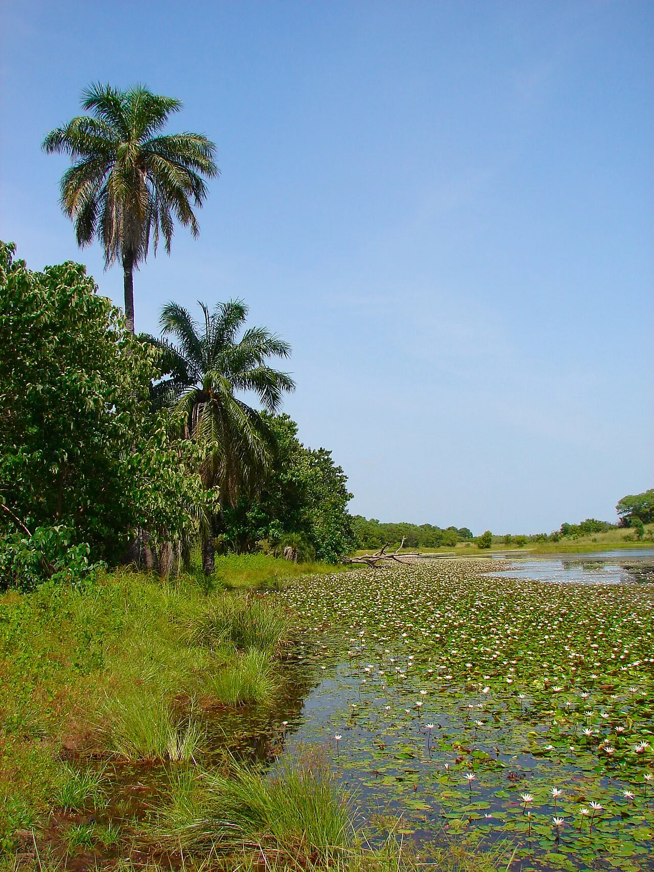
The terrain is unspectacular by design: a floodplain flanking the river, bordered by low hills rather than any real relief. There is no mountain or ridge to orient yourself by; the highest ground in the country reaches only around 64 m, a sandy plateau near the Senegalese border, and the lowest point is simply the Atlantic shoreline at sea level. The vegetation shifts as you move inland: Guinean mangroves line the tidal creeks near the coast, giving way to the Guinean forest-savanna mosaic and then West Sudanian savanna2 further upcountry. Nearly half the land, about 43%3, is arable, reflecting how much of the country outside the river’s floodplain is farmed rather than forested.
Protected river landscape
The flattest, most river-dominated scenery is easiest to see at Kiang West National Park, on the river’s south bank about 145 km from Banjul: roughly 115 km² of Guinea savanna, dry woodland, tidal flats and mangrove creeks, protected since 19875 and one of the best places to see the river valley’s landscape and birdlife together. Closer to the coast, the Abuko and Bijilo reserves near Brikama show a smaller-scale version of the same mix of forest and wetland.
What this means for a trip
Because the whole country is low-lying and river-shaped, there is no scenery you need a long detour to reach: the resort coast, the river towns and the nature reserves described in the country guide are all within a day’s travel of each other. What it does mean is that a lot of travel inland follows the river rather than cutting across country, by road along one bank or by boat, with a vehicle ferry still the way to cross near Banjul itself. The flat, river-fed land is also why upcountry roads can turn to mud and some river-based trips pause during the rainy season from June to September, when the floodplain does what its name suggests.