Contents
Zambia is a landlocked plateau country, and that single fact decides most of the rest: a gently tilted highland crossed by a handful of major rivers, with no coast and no single dominant mountain range. Elevation and rainfall both track the plateau’s shape, which is why the game parks, Victoria Falls and the cooler highlands are scattered across separate corners of the country instead of strung along one route.
A plateau, not a mountain range
At 752,618 km², Zambia is mostly high plateau, with no single ridge of peaks, and its elevation range shows how gentle that plateau actually is. The highest point, Mafinga Central in the Mafinga Hills, reaches 2,339 m, in the far north-east near the Malawi border, while the lowest point, along the Zambezi River, is 329 m. That is a spread of around 2,000 m, but spread thinly over a country roughly twice the size of Montana1, so the land feels rolling almost everywhere you travel, not dramatic.
Landlocked between eight neighbours
Being landlocked also shapes the country’s outline: Zambia shares 5,664 km of land border with eight neighbours, namely Angola, the Democratic Republic of Congo, Malawi, Mozambique, Namibia, Tanzania, Zimbabwe to the south, and a short stretch with Botswana. The longest of these, the border with the Democratic Republic of Congo, runs 1,930 km along the north and north-west, while the border with Zimbabwe, 797 km1, is also the one most visitors cross, since it follows the Zambezi past Victoria Falls. With eight neighbours to connect through, overland travellers can link Zambia into routes through almost any corner of southern or central Africa.
The Zambezi and its tributaries
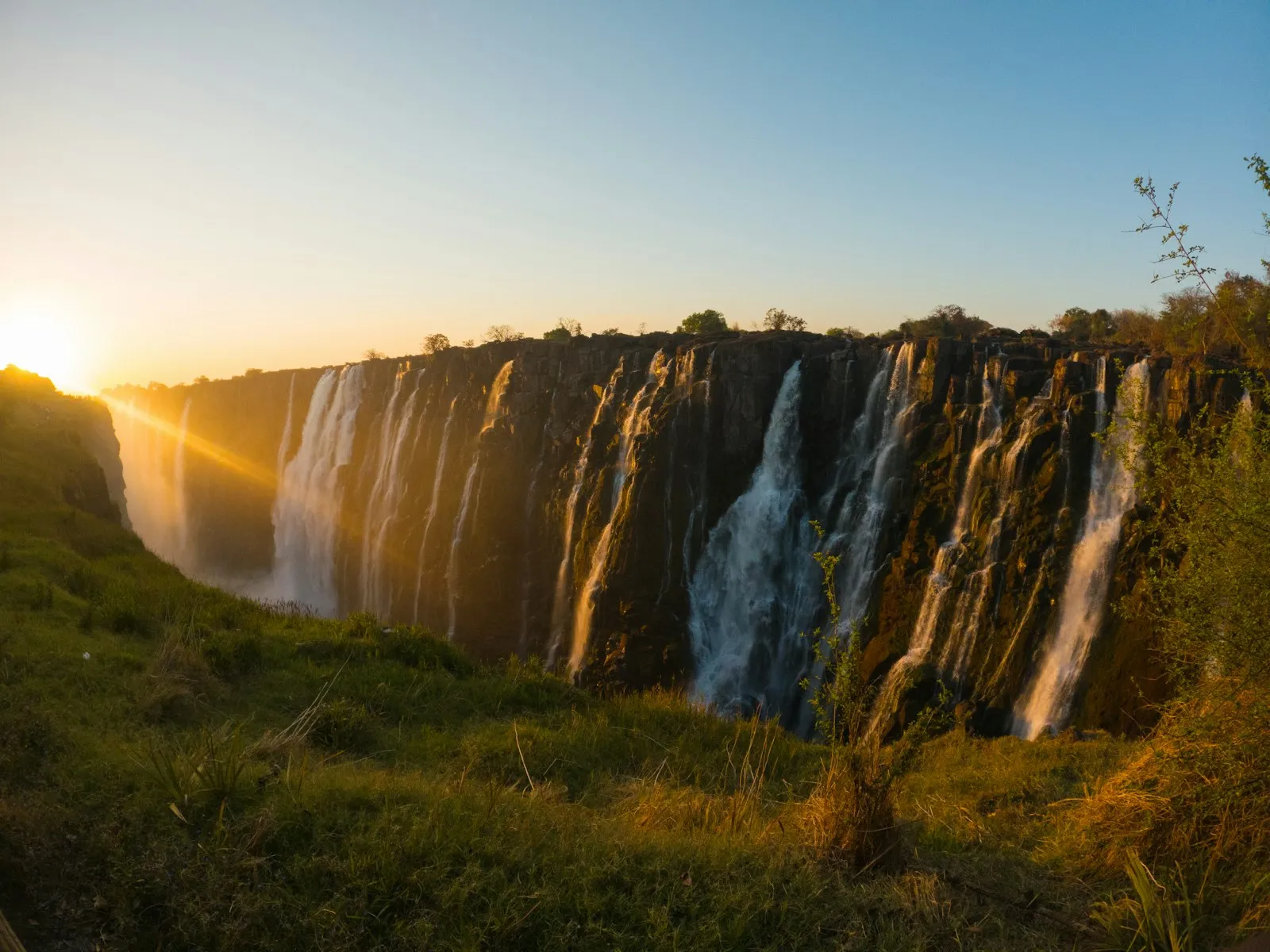
The Zambezi River, 2,650 km long1, is Zambia’s defining waterway: it rises in the country’s north-west, loops south and east, and eventually forms the border with Zimbabwe at Victoria Falls before continuing on to Mozambique and the Indian Ocean. Two of its major tributaries carve out the country’s best-known safari ground: the Kafue River gives its name to Kafue National Park in the centre-west, and the Luangwa River runs through a rift valley in the east that is now South Luangwa National Park, one of Africa’s classic walking-safari destinations. Where the Zambezi has been dammed, it has also created scenery of its own: Lake Kariba covers 5,580 km²2 on the border with Zimbabwe, the world’s largest reservoir by volume, and far enough downstream from Victoria Falls that it has become a destination in its own right for houseboats and lake-based safaris. In the far north, Lake Tanganyika and Lake Mweru drain toward the Congo basin instead of the Zambezi, a reminder that Zambia sits across a major watershed divide as well as a political crossroads.
What the plateau does to the climate
Zambia’s climate follows the same high-plateau shape as its terrain. The rainy season runs from mid-November to April and the dry season splits into a cool stretch from May to mid-August and a hotter one from mid-August to mid-November, with elevation softening temperatures that would otherwise be far hotter at this latitude: the facts box above has the current rainfall and temperature figures. Rainfall itself tracks the plateau’s tilt from south to north, so the Copperbelt and Northern Province, sitting higher and further from the dry Kalahari-influenced south, see noticeably more rain across the year than Livingstone or Lusaka.
What this means for a trip
The country’s single tilted plateau, not a set of separate regions, is what sorts a trip for you: the Zambezi border for Victoria Falls and Lake Kariba, the Kafue and Luangwa valleys for safari, and the higher northern plateau for a cooler, wetter landscape that far fewer visitors see. The one UNESCO World Heritage Site on Zambian soil, Mosi-oa-Tunya / Victoria Falls3, sits right at that border crossing with Zimbabwe, which is why it so often opens or closes a Zambia itinerary instead of falling in the middle of one. See the country guide for how the regions link up and the when to go page for how the plateau’s climate plays out month by month.