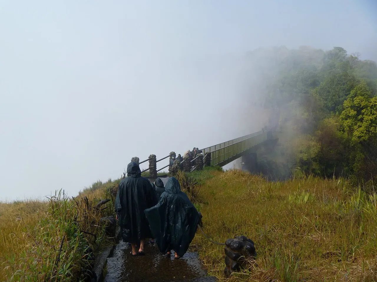
Zambia has three distinct seasons rather than two, and knowing which one you are travelling in matters as much as the month on the calendar. Rain falls mid-November to April, and the cool, dry months from May to mid-August are the most comfortable time to travel and the best for wildlife viewing. None of this is uniform across the country: a landlocked plateau the size of Zambia stretches from a drier southern belt to a much wetter north, so the same month can mean a dusty game drive in one province and a muddy one in another.
The rainy season
The wet rainy season runs from mid-November to April1, the wettest part of the year and the stretch when Victoria Falls and the Zambezi floodplains are at their fullest. Rainfall is strongly influenced by the Inter-Tropical Convergence Zone and by the El Niño/Southern Oscillation, so the amount that falls in any given wet season varies from year to year.
Totals also vary sharply by region. Annual rainfall ranges from about 600 mm in the lower south to 1,300 mm in the upper north. The country is split into three Agro-ecological Regions by this gradient: the driest region gets under 800 mm a year, the middle region 800–1,000 mm, and the wettest region, covering the Copperbelt, Luapula, Northern and North-western Provinces, 1,000–1,500 mm1. A trip to the drier south in the rains looks very different from one to the wetter north.
The dry season
Outside the rains, Zambia splits into a cool dry season from May to mid-August, followed by a hot dry season from mid-August to mid-November1. The cool dry season is the classic safari window: mornings are cold enough for a jacket on a game drive, days are mild, and the bush thins out as the rains recede. The hot dry season that follows, especially October and November, brings the highest temperatures of the year. Wildlife is pushed toward the last remaining water sources, which is good for viewing but hard going in the midday heat. Most operators treat this run-up to the rains as peak safari season despite the heat, since thinning vegetation and shrinking waterholes concentrate animals where a vehicle or boat can reach them; the trade-off is planning your days around the hottest hours rather than around game drives.
Temperatures
Mean annual temperatures across Zambia vary from 18 to 20°C, though elevation and latitude make for real local variation, so a camp on the high plateau runs cooler than one down in a river valley. Temperatures nationally are also trending up: the mean annual temperature has risen by 1.3°C since 1960, an average of about 0.29°C per decade1, with more hot days and warm nights and fewer extreme cold spells than in the past.
Practical tips
- Pack a warm layer for early starts if you travel May to mid-August: cool dry season mornings on a game drive can be sharp even though afternoons warm up fast.
- October and November are the hottest, dustiest weeks of the year; plan for shade in the middle of the day and drink more water than you think you need.
- Travelling in the wet season (mid-November to April) means green scenery and a fuller Victoria Falls, but some camps close and unpaved roads to remoter parks can become difficult.
- The currency, emergency number and plug type for the country are in the facts box above.
What to check before you go
- A safari camp’s own seasonal calendar, since some close entirely during the heaviest rains and reopen on dates set by the operator, not by any fixed national rule.
- Road conditions if self-driving to a remote park during or just after the rains, since unpaved access roads can wash out.
- The current government travel advisory for the region you are visiting, since conditions along the DRC, Angola and Mozambique border areas are assessed separately from the rest of the country.