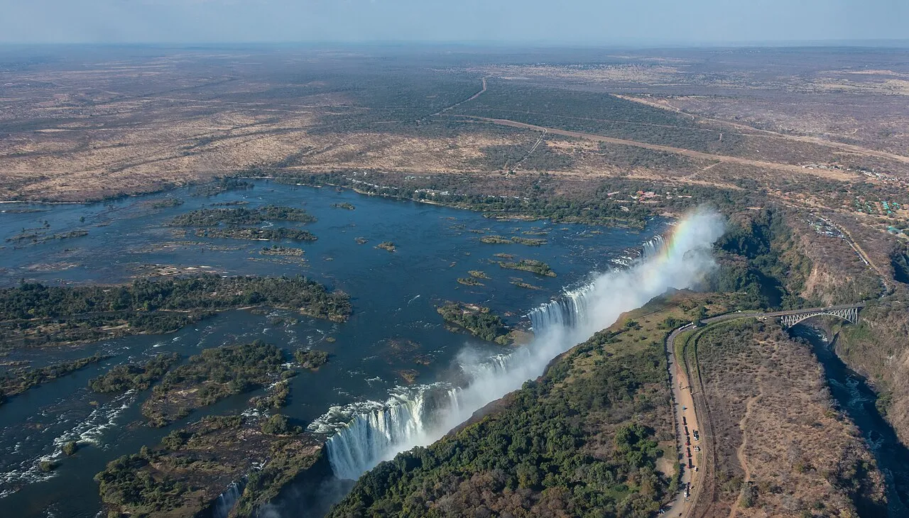
Zimbabwe is a landlocked country in southern Africa, covering 390,757 km²1 between the Zambezi and Limpopo rivers and home to around 15.2 million people2. It is best known abroad for Victoria Falls, shared with Zambia on its northern border, but the country also holds the largest stone structure in precolonial Southern Africa3, a cool highland strip along the Mozambique border, and a wildlife circuit that rivals its better-known neighbours. A first trip usually anchors on Victoria Falls and adds either the ruins at Great Zimbabwe or a few days in one of the national parks, depending on how much time there is to spend.
Regions and main cities
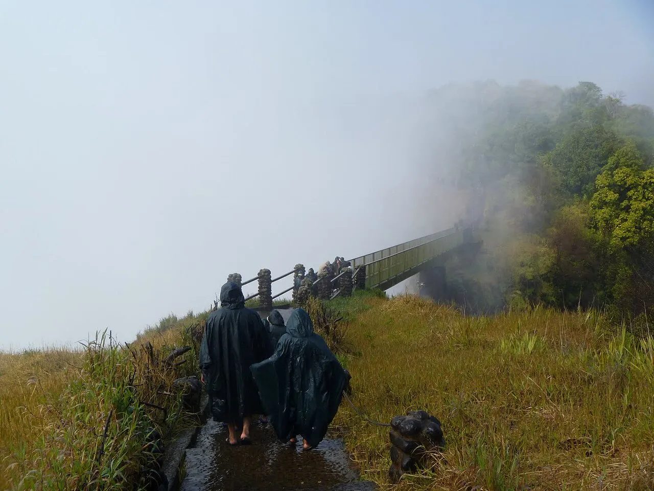
Harare, the capital, sits on the high central plateau and is where most visitors land and where business travel concentrates; it is a stop for logistics more than sightseeing. Bulawayo, in the south-west, is the country’s second-largest city and the usual base for visiting the Matobo Hills, with their granite kopjes and rock art. Victoria Falls, the town, exists almost entirely for the waterfall and the adventure tourism built around it — rafting, bungee jumping and sundowner cruises on the Zambezi above the gorge. In the south-east, Masvingo is the gateway to the Great Zimbabwe ruins, the stone-walled capital of a medieval kingdom that gave the modern country its name. The Eastern Highlands, around Mutare and the resort towns of Nyanga and Chimanimani, are cooler and greener than the rest of the country and draw hikers rather than wildlife tourists.
Getting there and around
Most international flights land at Robert Gabriel Mugabe International Airport in Harare or at Victoria Falls International Airport, with the latter now handling a large share of tourist arrivals directly. Overland crossings from Zambia, Botswana, South Africa and Mozambique are straightforward on the main routes, and the border at Victoria Falls is a common point of entry for travellers combining Zimbabwe with Zambia. Within the country, distances between the main tourist stops are long, so most visitors fly between Harare, Bulawayo and Victoria Falls, or travel with an organised tour; self-driving is possible but road quality and fuel availability vary, and the facts box above has the side of the road and plug type for a rental car.
When to go
The rainy season runs from November to March4, with hot, humid weather and the heaviest downpours typically in January and February; this is also when Victoria Falls carries its fullest flow. The dry season, from May to September, includes a cooler spell in the middle months before the weather warms again into a hot, dusty October — the best stretch for wildlife viewing, since animals concentrate around the remaining waterholes and rivers. The Eastern Highlands stay cooler and wetter than the rest of the country year-round, which matters if a hiking trip there is on the itinerary.
Money, safety and visas
The currency, emergency number, plug type and side of the road for driving are in the facts box above; Zimbabwe uses both its own Zimbabwe Gold and the US dollar side by side, so carrying US dollars in small notes is still useful. Most nationalities can get a visa on arrival, usually valid for 30 days5, or combine it with Zambia through the KAZA Univisa; check your own passport’s requirements and current government travel advisories before you go, since conditions have shifted several times in recent years.